 |
Photo of the Week
6/21/2026
|
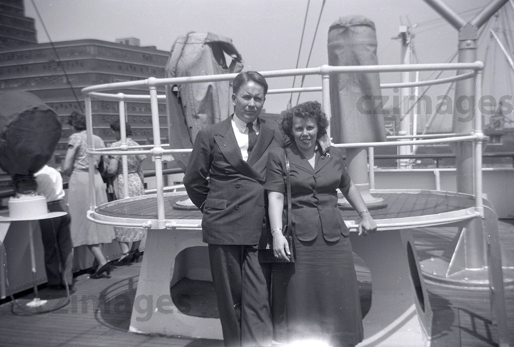
HAPPY FATHER'S DAY!!! Here is a wonderful old photo taken aboard one of the Panama Line ships in either 1949 or 1950 of my mom and dad in New York Harbor awaiting sail to Panama. This would have been my mom's first trip and to live in the Canal Zone. Dad had already secured a job in the Canal Zone and came to the states to get her. What a handsome couple and my dad only a short five years from fighting in the South Pacific as a U.S. Marine. I miss you both so much. Happy Father's Day dad. |
Home|
Photo
of the Week | Photo
Archives | Main
Show Room | Photo
Room | Military
History
PC History
| Gift
Shop | Links
